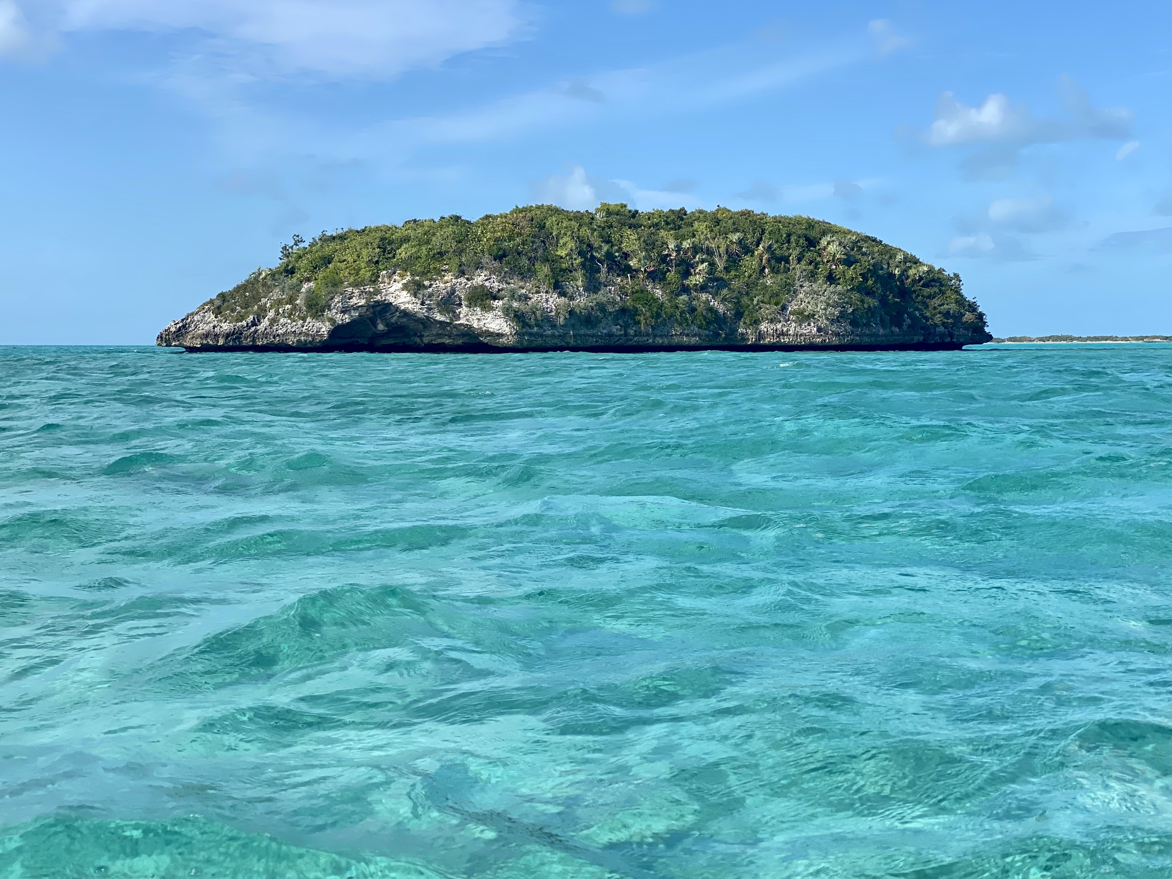
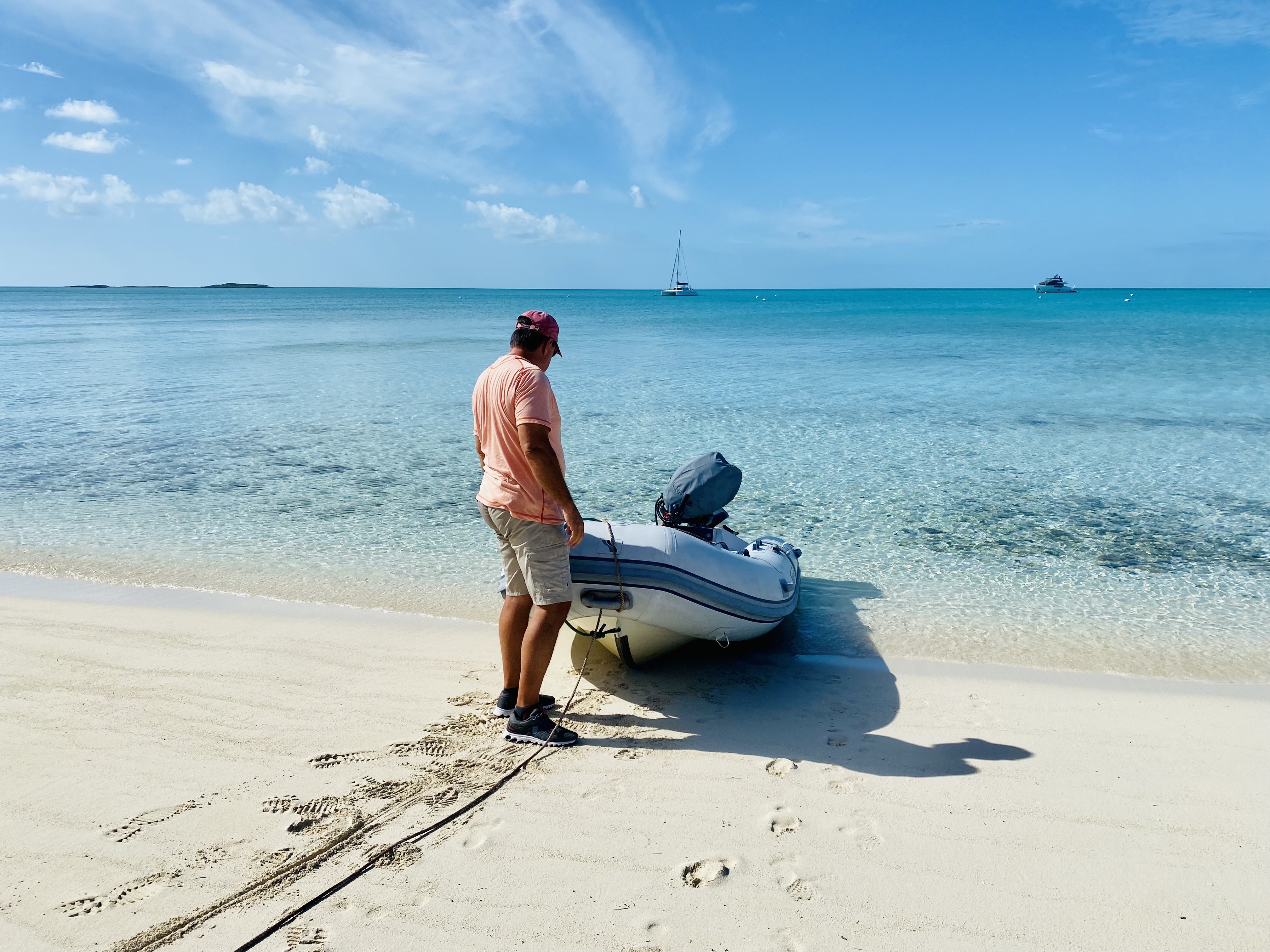
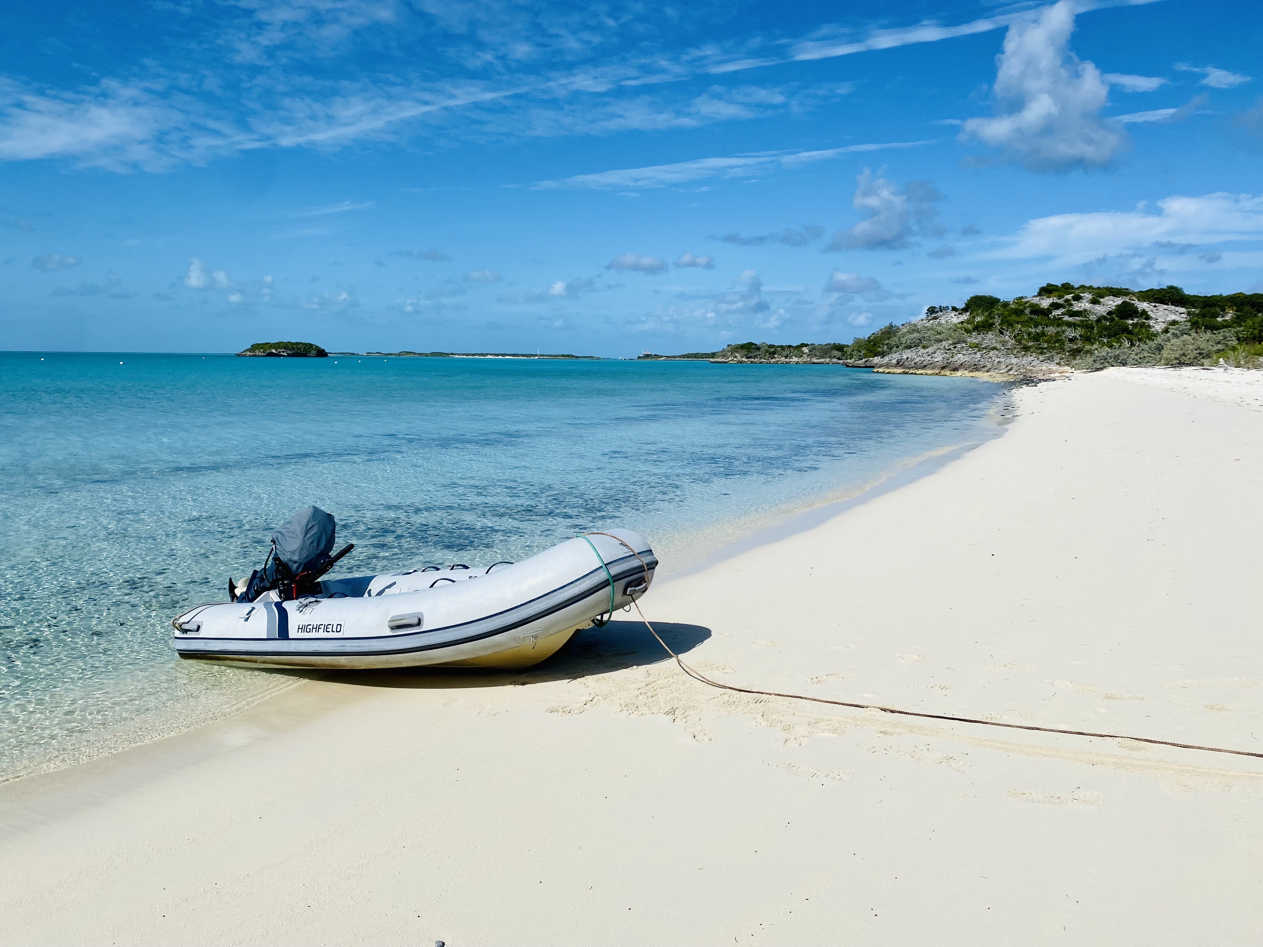
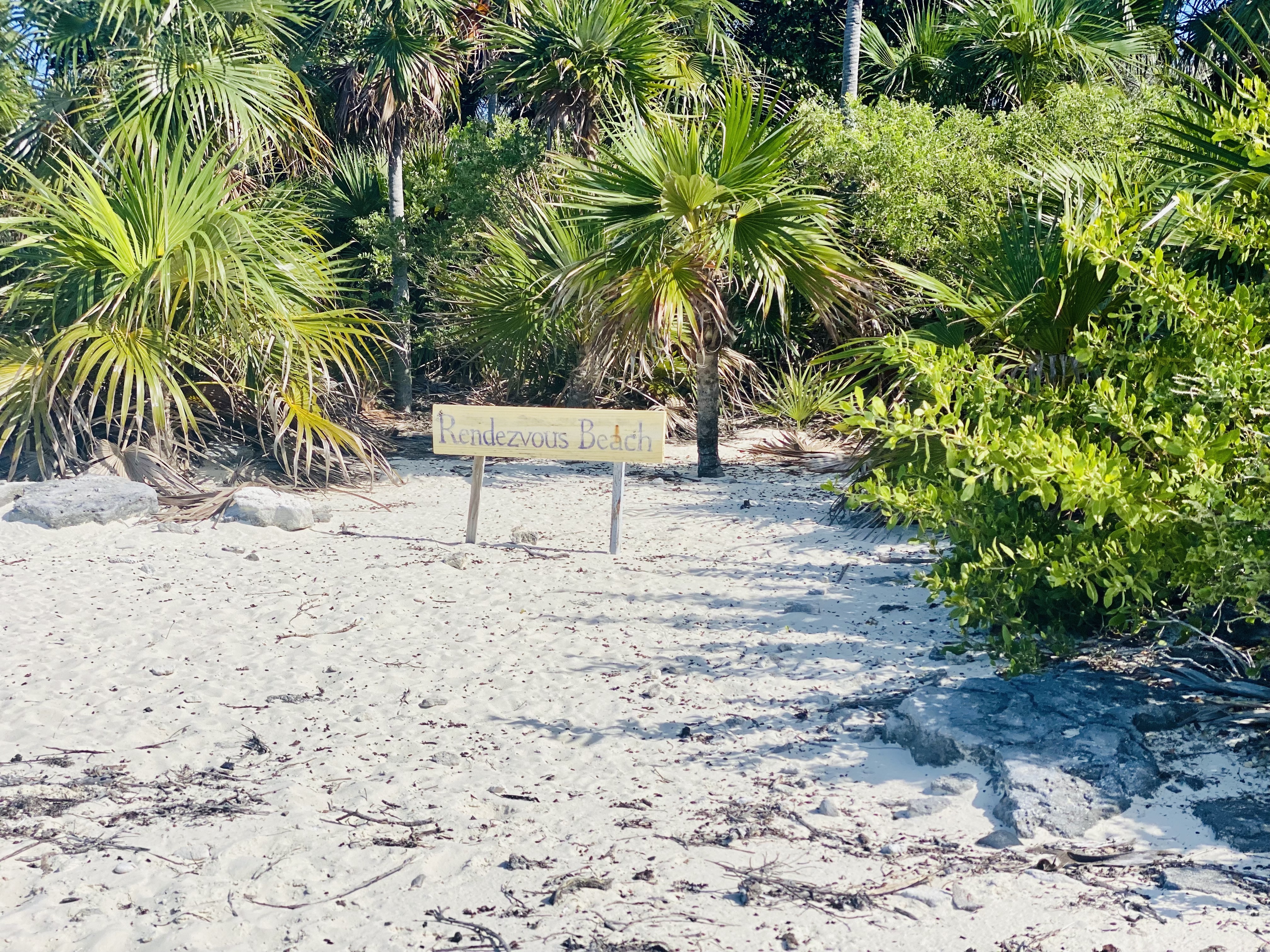
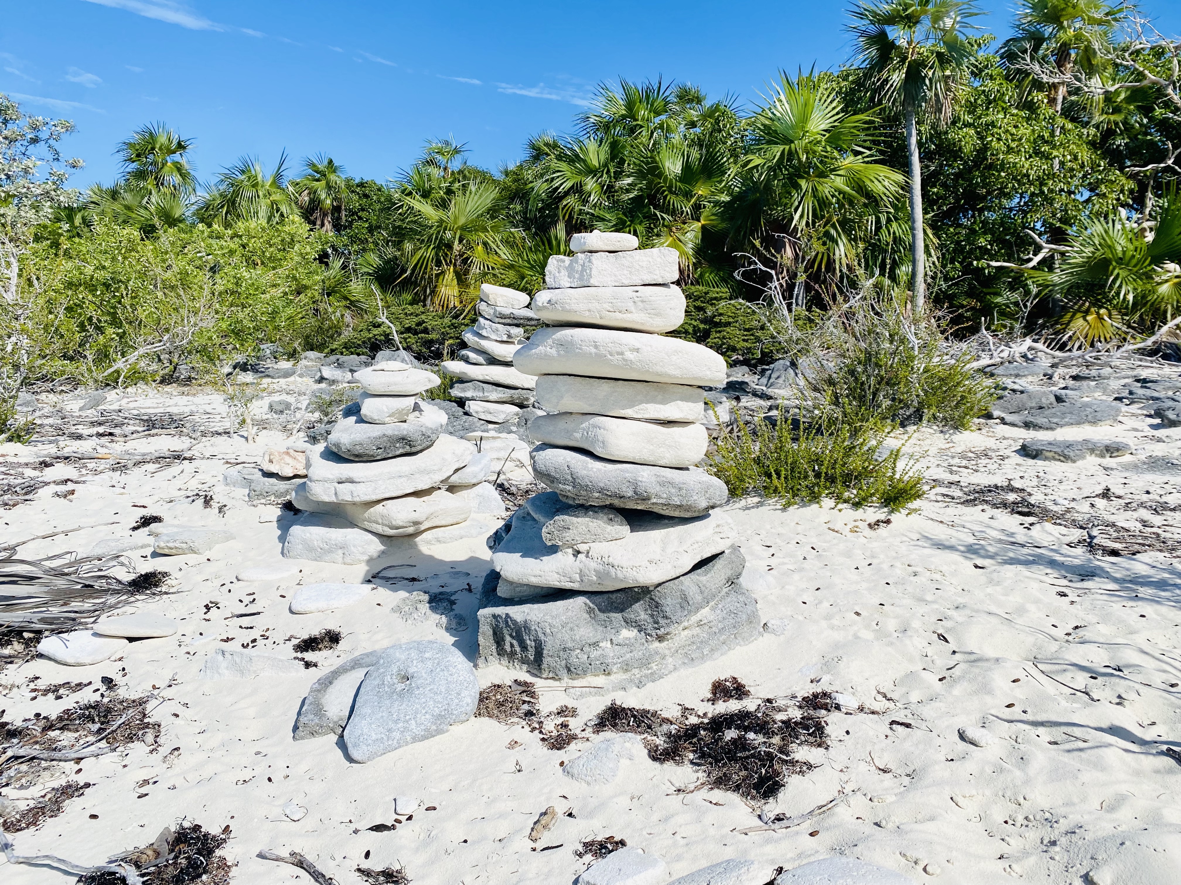
On our second full day at Warderick Wells in the Exumas Land & Sea Park, we decided to take a dinghy ride around the west side of the island (the side that faces the Great Exuma Banks, not the ocean side). We rode by Emerald Rock and marveled at the beauty, and then anchored our dinghy at Rendezvous Beach.
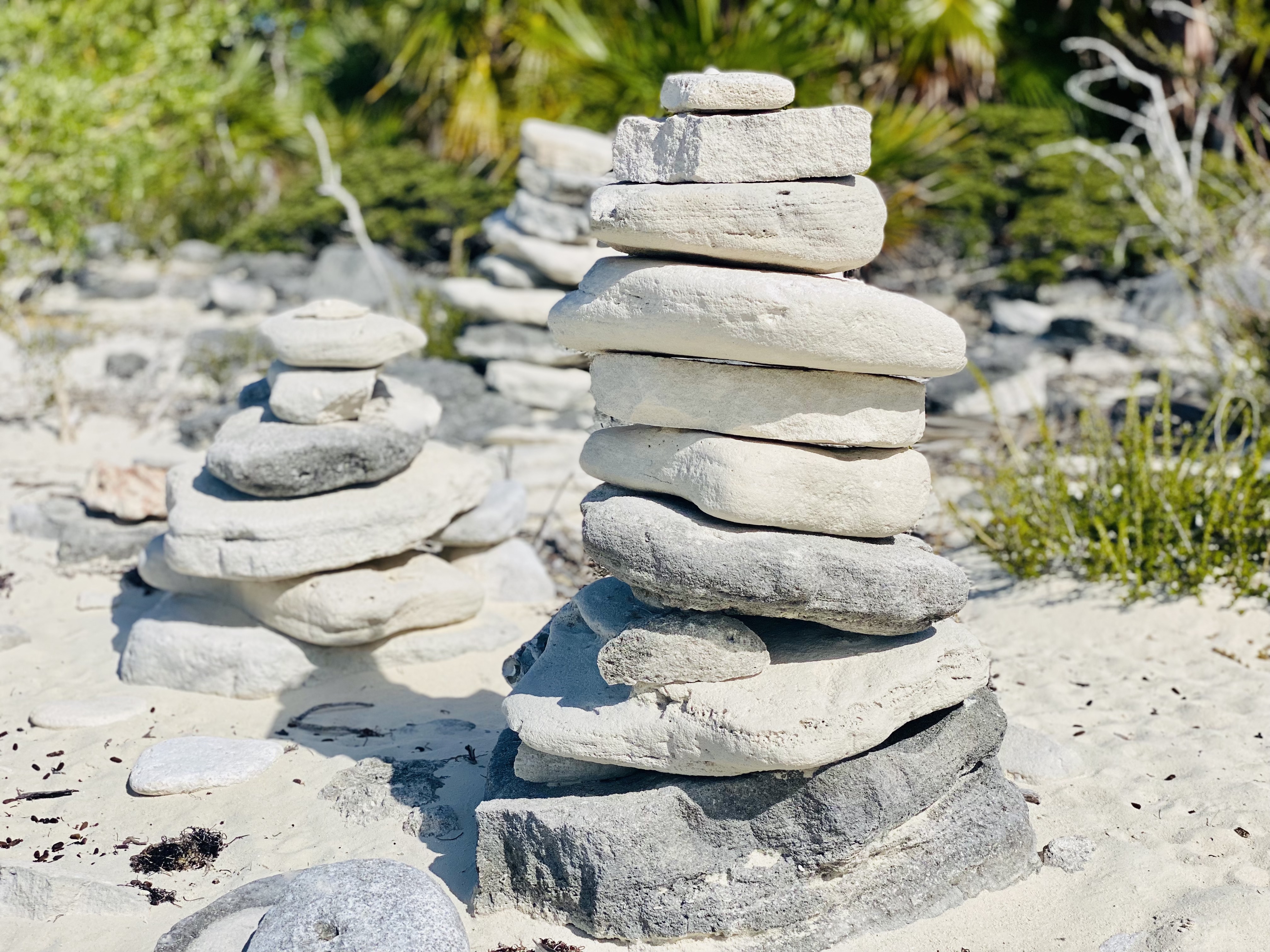
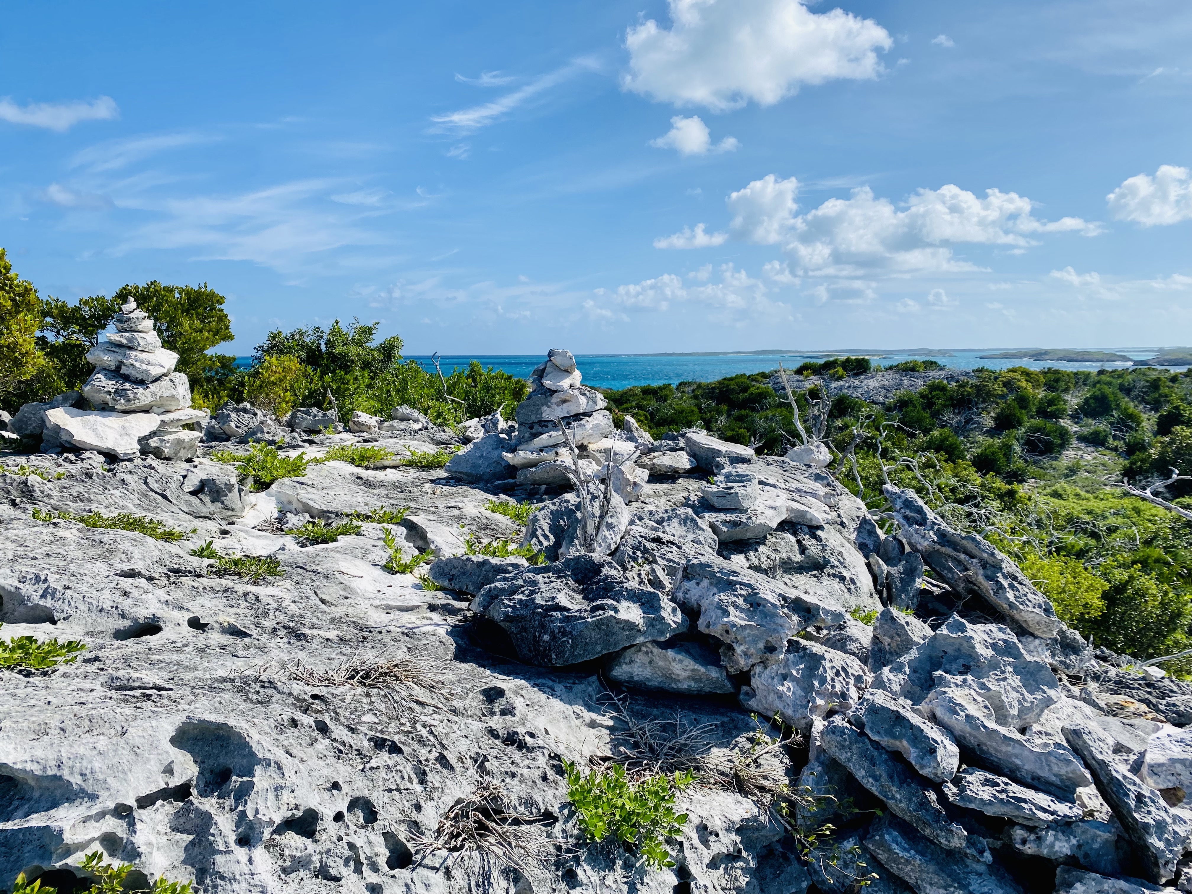
While on Rendezvous Beach, and throughout the nature preserve, we noticed stacks of rocks called cairns. While we knew what these mounds of rocks were called, we never knew their full significance until we did some research. We discovered that these cairns often mark hiking routes in parks. They vary in height and width and are designed to indicate to a hiker where they are by marking the route of the trail. The smallest rock on the very top of the pile is called the pointer stone and helps tell the hiker which way to go.
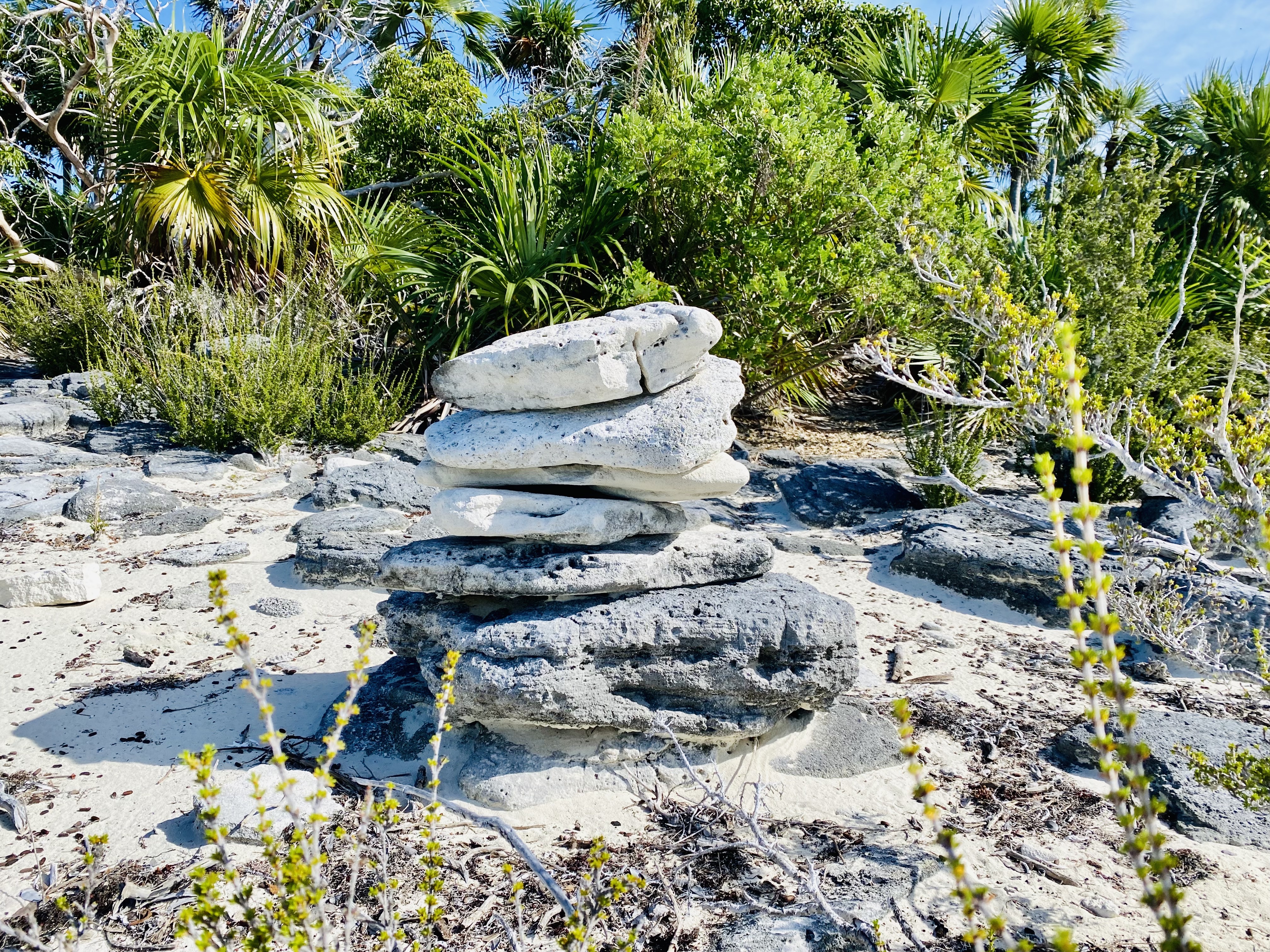
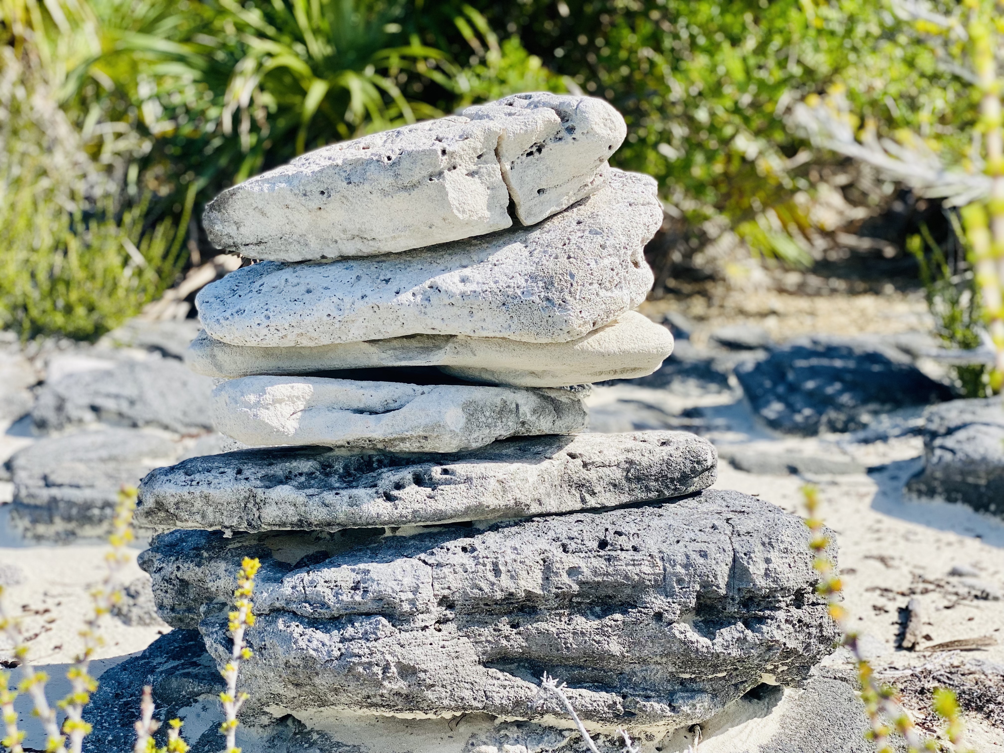
I also read that cairns have had a spiritual significance to various cultures over the years. They have symbolized the quiet voice of God. These simple stacks of flat rocks are easy to miss in rugged landscapes. It is only by seeking them out and paying close attention to them that we are able to receive guidance. Thus, cairns have been set up to teach us to listen to God, to pay attention to Him, and to follow Him on our spiritual journey. I don’t think I’ll look at a cairn the same way again.
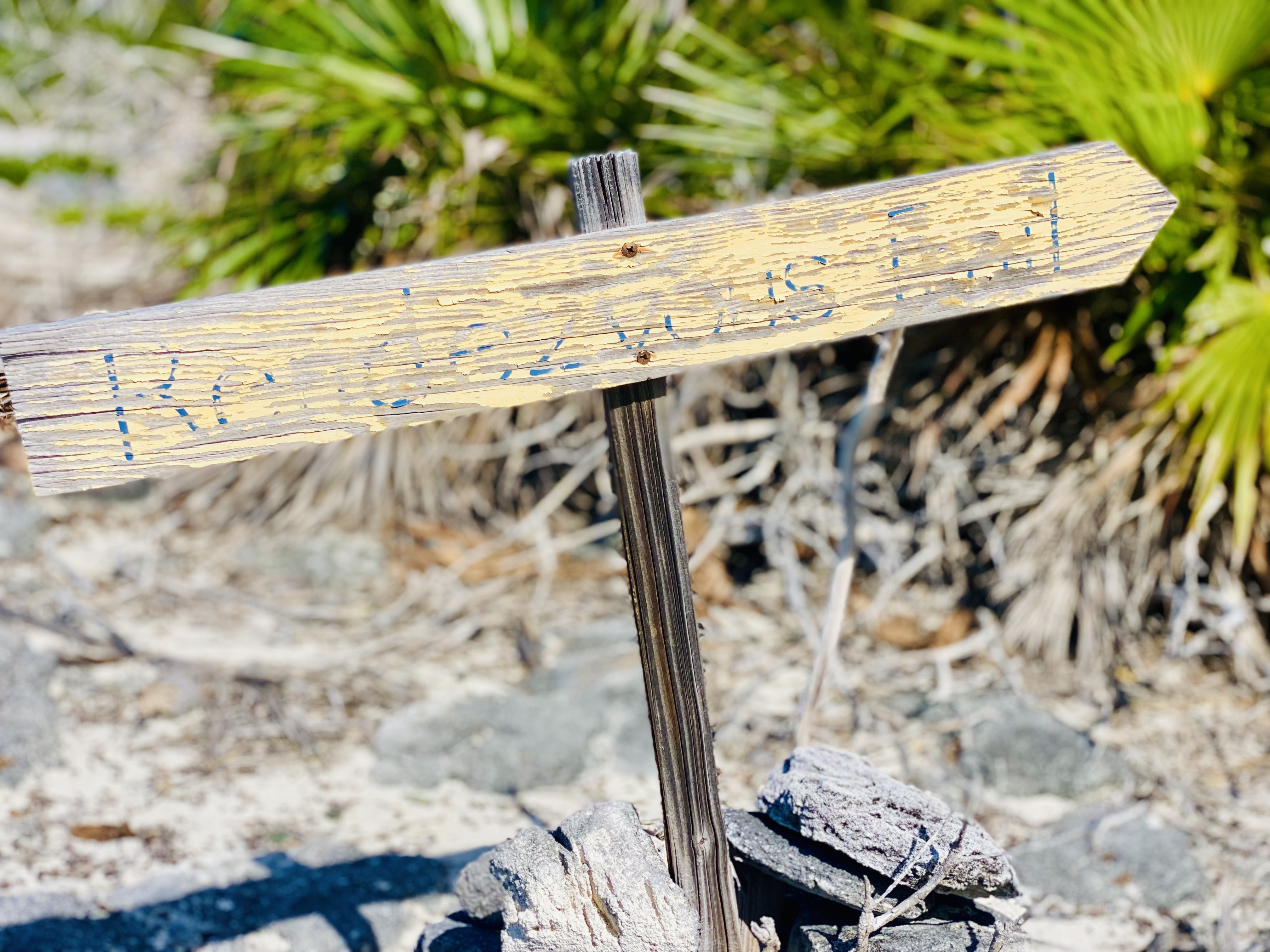
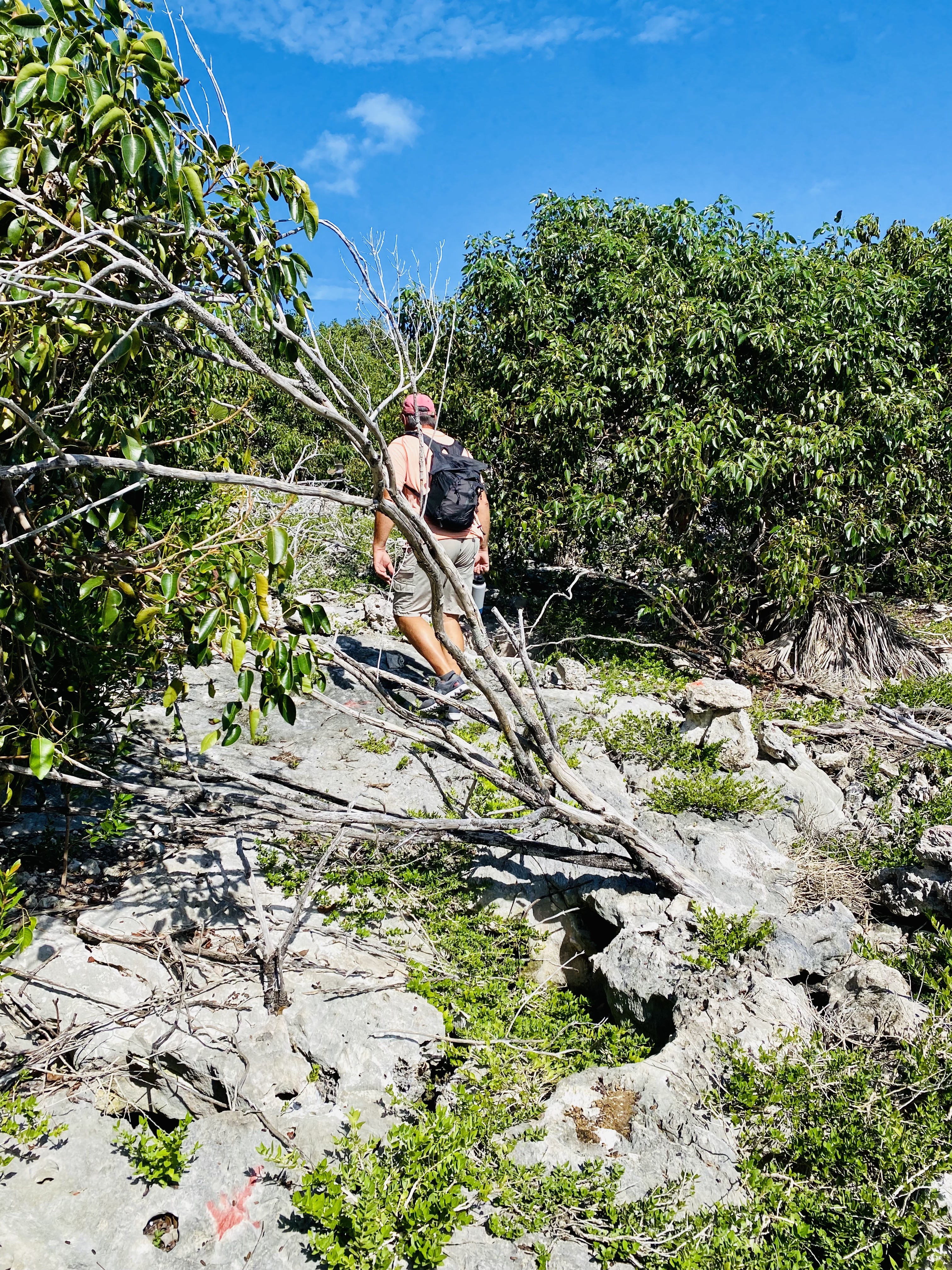
We found our trail to Davis’ Ruins, but not because of the cairns, as we had not yet learned how to read the markers. Instead, we walked up and down the beach until we saw a pathway with a couple of marked signs.
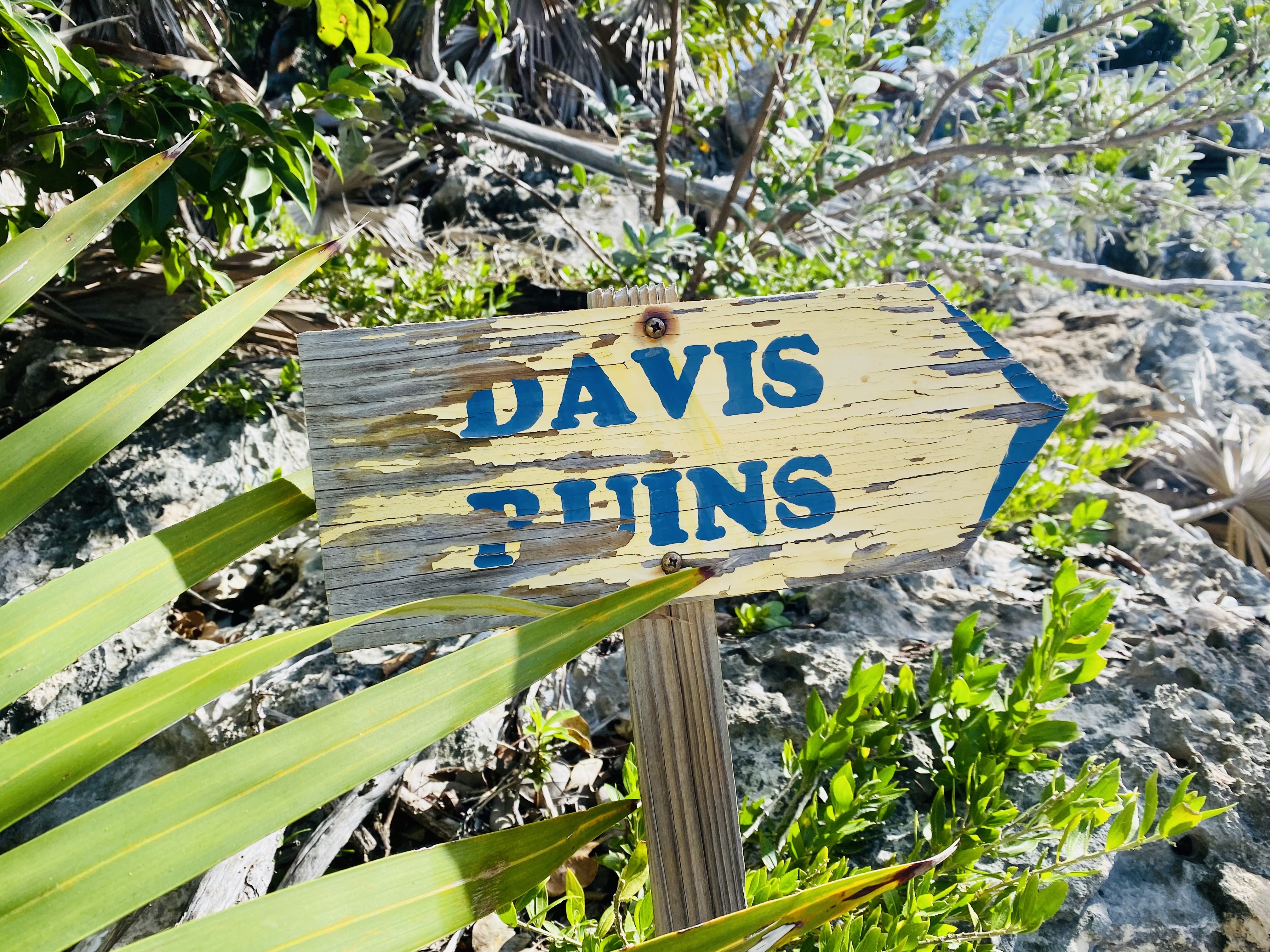
It wasn’t a long hike to the ruins, but it was a steep one on rocky terrain. Davis Ruins was a settlement founded by refugee American Loyalist who fled to The Bahamas after the American Revolution. According to oral tradition, the Davis family settled this property towards the end of the 1700’s, and archeologists have been able to pinpoint the year to about 1780. All that remains today are two stone walls and the foundations of a few buildings on the top and sides of this steep hill.
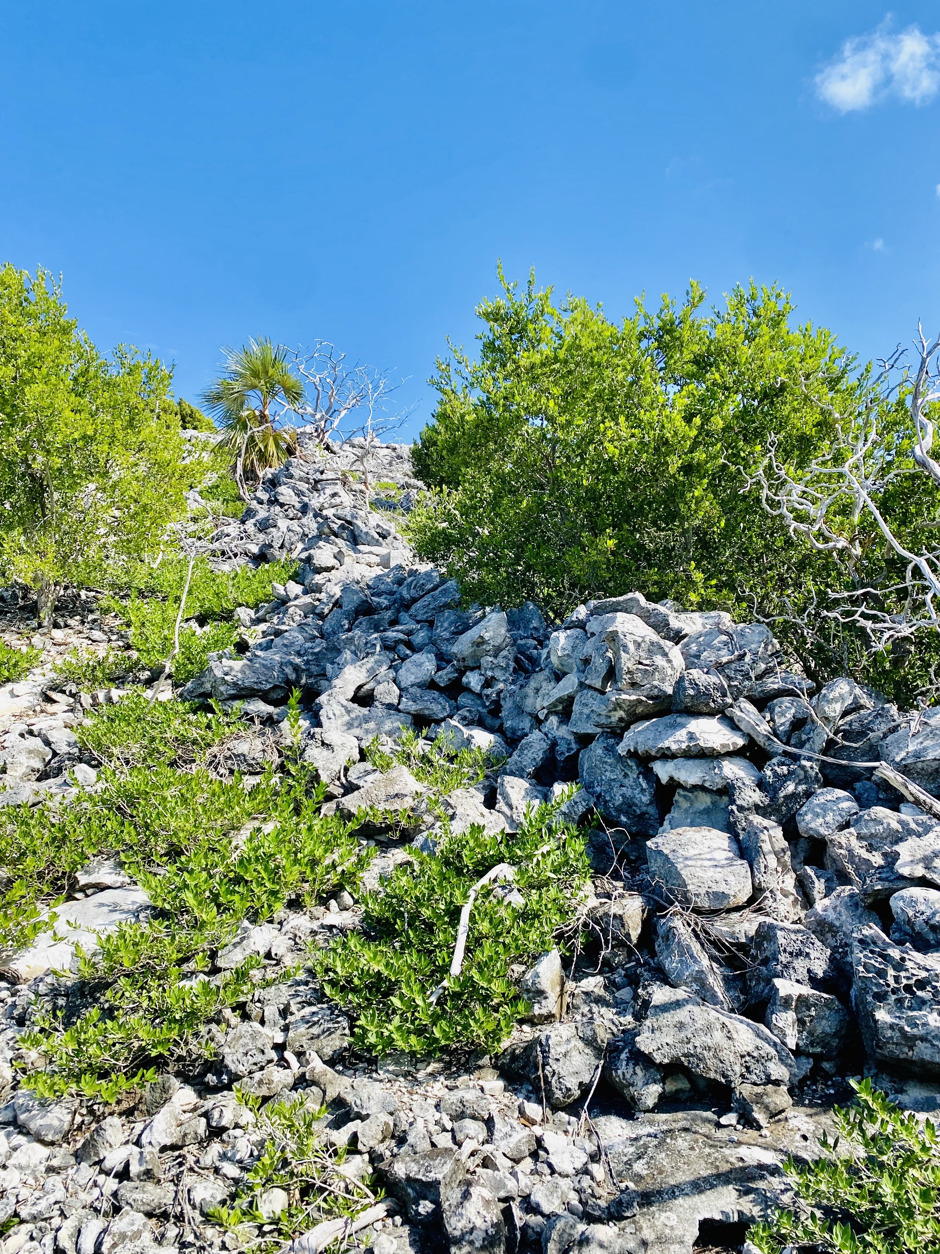
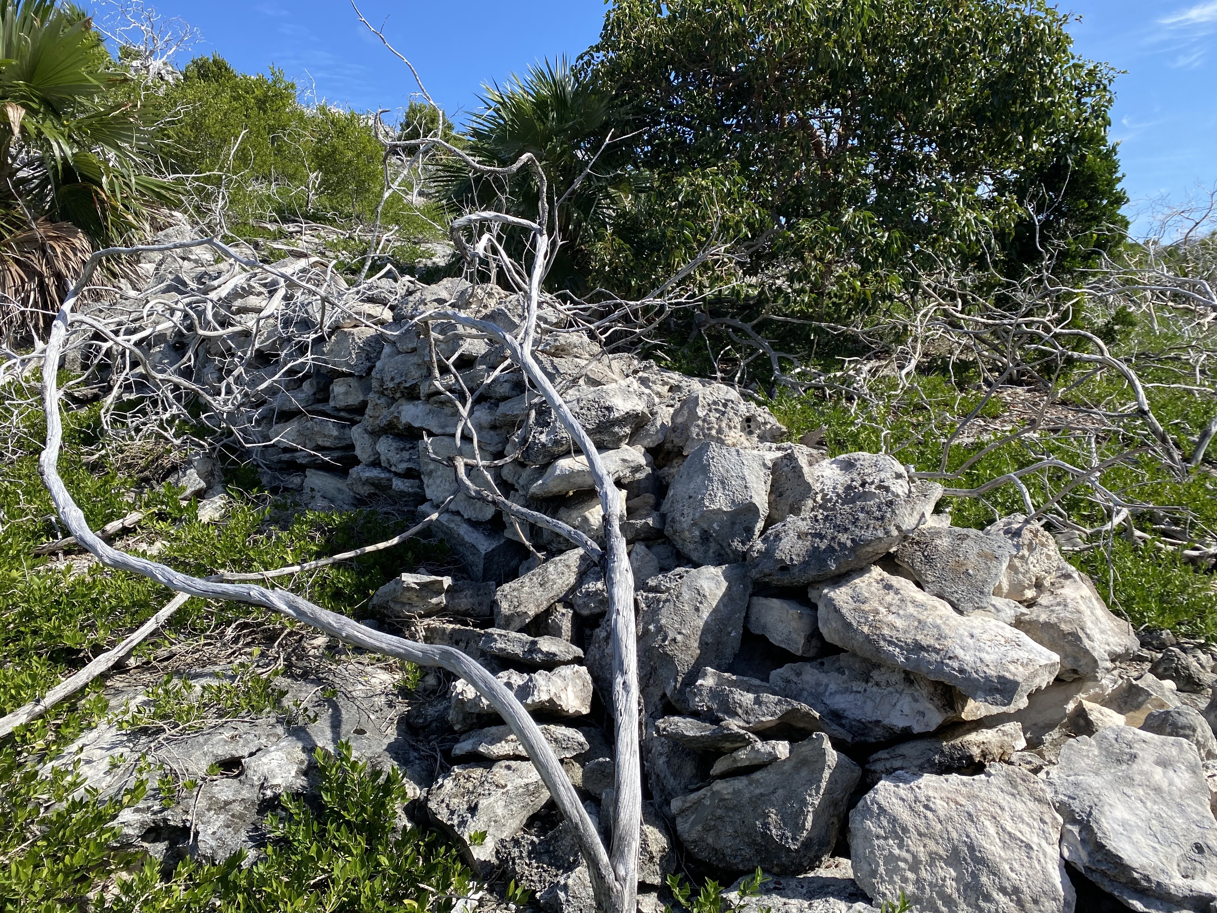
I started wondering why these Loyalists would build a settlement so high on the hill? The views were indeed breathtaking. And I guess this location offered protection from enemies below. But how could anyone survive on this island where the only fresh water is rain that pools in the hollows of the limestone rocks? They must have been quite resourceful. And there wasn’t much natural vegetation for food, so I imagine they ate a lot of seafood.
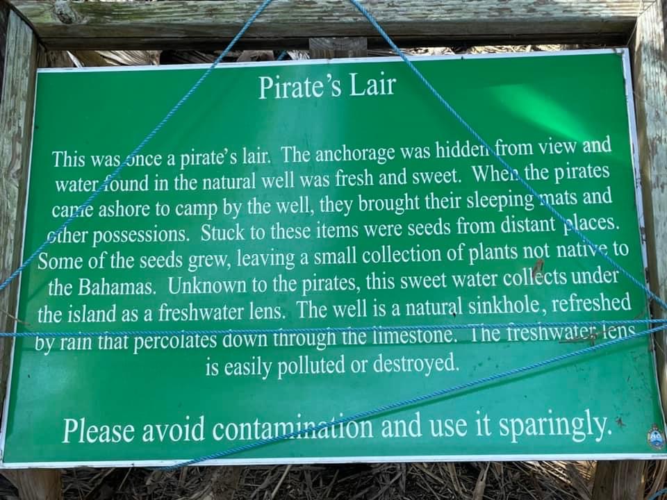
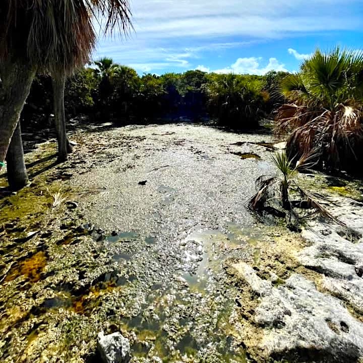
The legend is that these Loyalists were attacked by pirates who camped near the south end of the island near a harbor now called Pirate’s Lair. We never made it that far around the island on our stop here, but our friends took these pictures. Maybe next time we’ll visit and hunt for treasure.